
 OTPO
OTPO
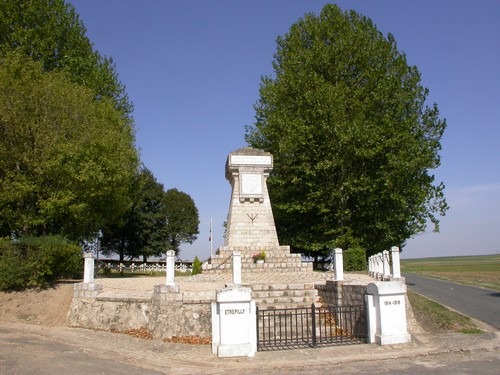
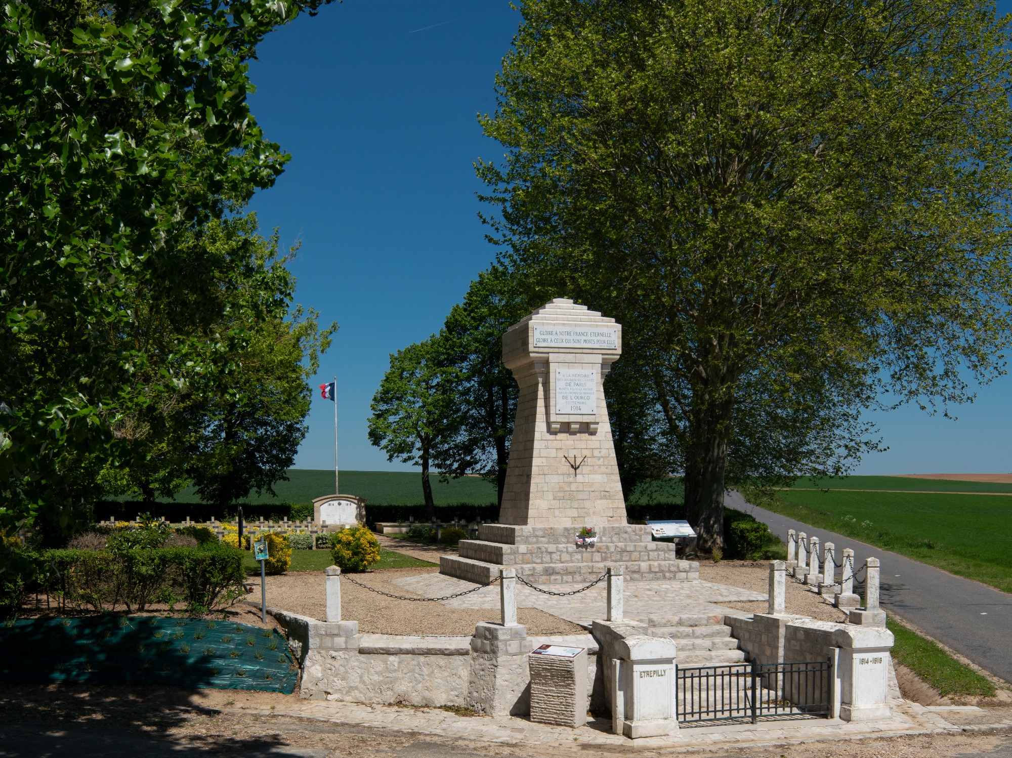
Historic site and monument
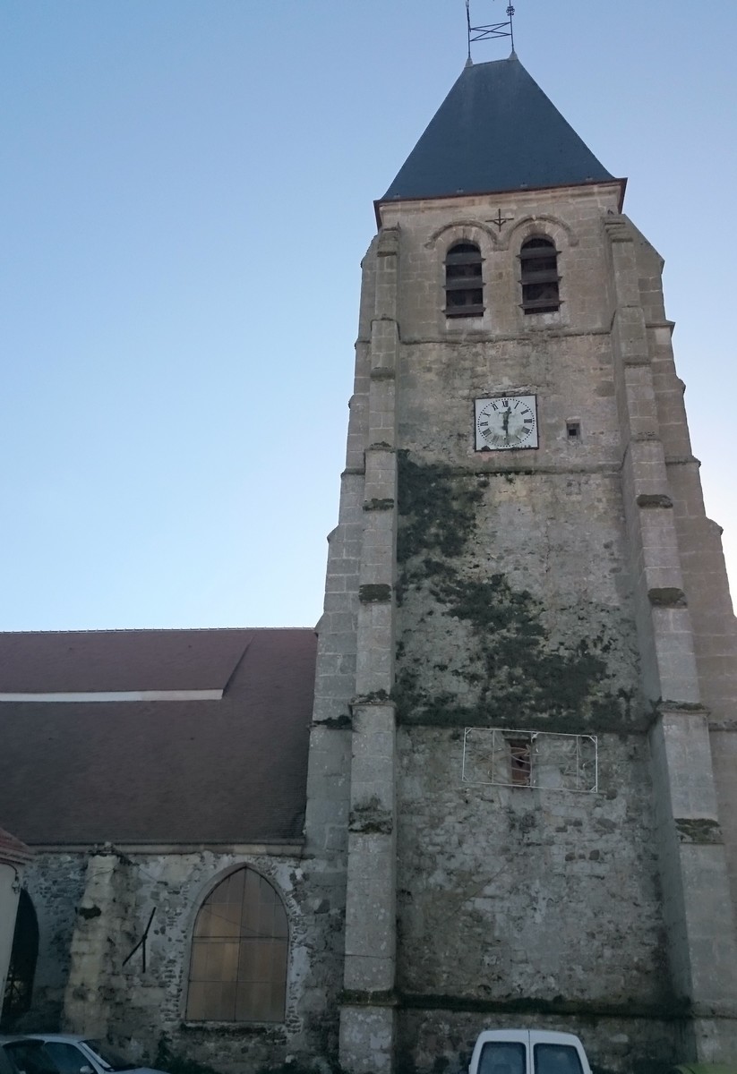
Related toEglise d'Etrepilly
Étrépilly
Documentation
Imagine the soldiers of 1914, with their red pants charging bayonets in the middle of wheat fields, near the famous farms of Poligny and Champfleury, the high points of the Battle of the Ourcq.
1) At the church, turn left (north) on the D146, then right, past the cemetery to the monument. Take the track on the left, then the track on the right. It climbs up to the plateau.
2) Take the second track on the right and at the D146, take the track on the left. Turn left onto the D146a for 2 km.
3) Take the D38 left to Puisieux. Follow the road to the left, past the town hall and church, down the main street, then right onto rue de Champfleury. Continue straight ahead on the small road which passes close to the Champfleury farm.
4) Before the bend, turn left down the shady lane. Go straight east, along the wood, then past the pumping station. At the entrance to Etrépilly, turn right onto the D 401 and cross the Thérouanne.
5) Turn left onto the attractive track running alongside the marsh. Turn left on the D146, continue along rue du Pont-des-Planches, cross the Thérouanne, then turn left to reach the church.
Pets allowed : yes
Type : Signposted loop
Audience : Walkers/hikers
Marked in yellow.
Updated on 12 January 2024 - report a problem